Lymington to Beaulieu |
Introduction
From Lymington the Solent Way crosses the Lymington River then continues a mile or so inland of the coast, giving occasional glimpses to the busy Solent to the east. Soon the path enters the New Forest passing Sowley Pond on the left walking on the quiet road for a little while, passing the old air field at Needs Oar Point to beautiful Bucklers Hard on the River Beaulieu. From Bucklers Hard the path follows the edge of the river to Beaulieu.
Getting to the Start
Lymington is on the A337 which joins the M27 motorway and A31 on the edge of the New Forest. This road also goes to New Milton and Christchurch. Parking is available in the town centre, although the car parks do get busy on a Saturday as that is market day.
By public transport, Lymington Town station is the nearest station to the path and has trains every 30 minutes from Brockenhurst, operated by South West Trains. These connect with main-line trains at Brockenhurst, going to Southmapton, Winchester, Basingstoke, Woking, London, Bournemouth, Poole, Dorchester and Weymouth and longer distance trains to Oxford, Reading and Birmingham. By bus Wilts and Dorset run frequent services to Lymington from Southampton, Totton, Ashurst, Lyndhurst, Brockenhurst, Bournemouth, Boscombe, Christchurch, Mudeford, Barton-on-Sea, New Milton and Milford-on-Sea. The Solent Blue Line New Forest Tour open-top bus also serves Lymington during the summer months.
The Walk
The Solent Way continues from Lymington, a lovely water-side town. From the High Street head down the hill and turn left near the bottom into Gosport Street. Continue on this road, past Station Street (for Lymington Town station) and turn right into Bridge Road to cross the Lymington River.
 |
 |
| Lymington | The Lymington River |
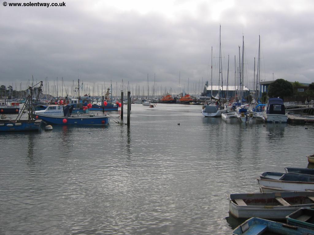
Once you are across the bridge turn right into Undershore where the traffic is a little quieter. The other side of the river is known as Walhampton. Keep to the road that follows the edge of the river, back towards the coast. You can see Lymington clearly across the river and the smaller bridge that carries the railway line to Lymington Pier station. The ferries to Yarmouth and the Isle of Wight depart from this side of the river although the Solent Way turns off before getting to the ferry terminal.
 |
| The River Lymington looking to Lymington |
Lookout for the path to turn off on the left, where the road widens by a house, just as the road starts to turn a little away from the river. This path now climbs up through woods to a large monument in a small clearing. The Monument was erected in 1840 in memory of Sir Harry Burrard Neale the MP for Lymington in 1832.
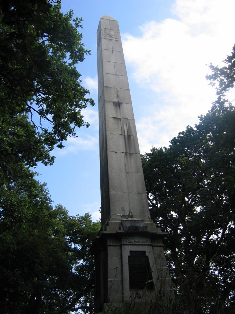 |
| The Monument in Walhampton |
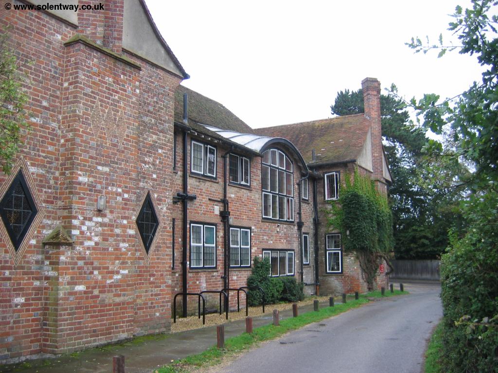
The path then emerges onto a narrow road (Monument Lane) where you turn right. Soon the path turns to the left onto a path on the edge of the golf course. To the right you can see the large house which is Elmers Court.
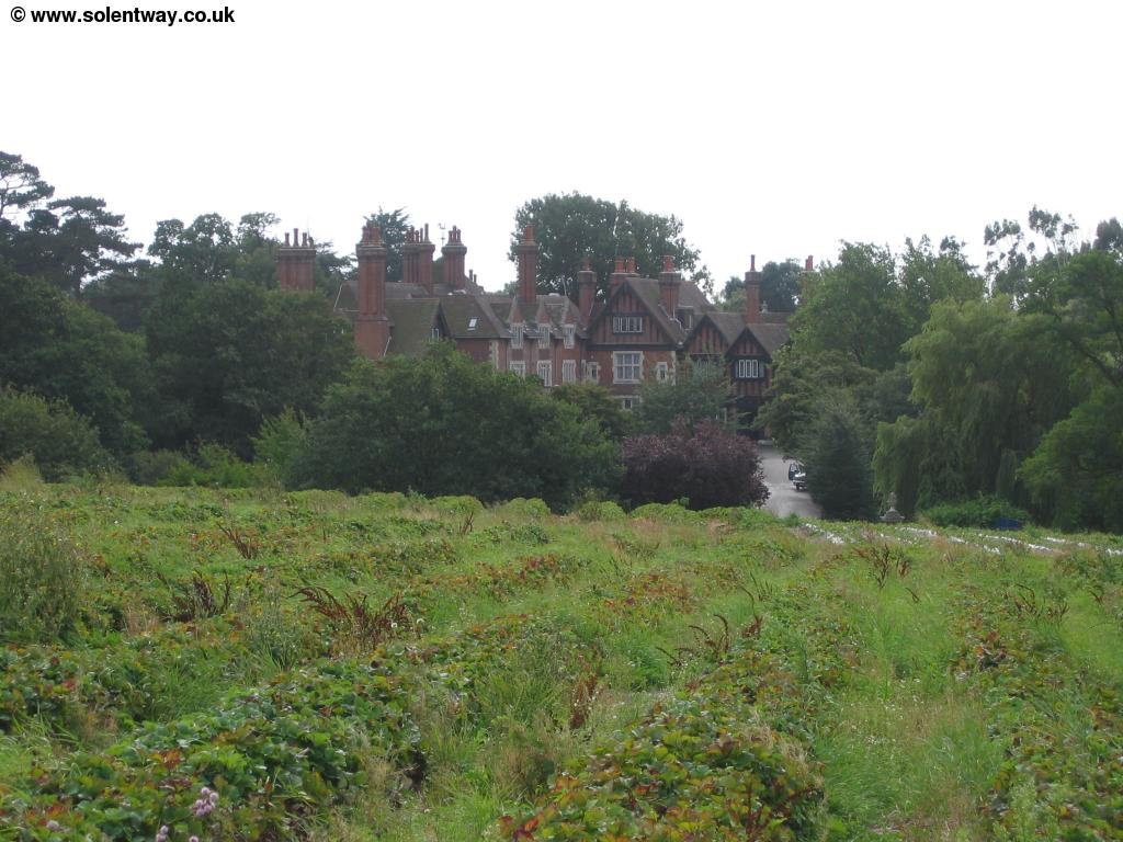 |
| Elmers Court |
The path continues along the edge of the golf course passing through some trees where you emerge onto another small road at Snooks Farm. Here you turn left then soon right onto the farm track and past the farm buildings. Here you have glimpses of the coast to your right and the Isle of Wight beyond it.
 |
| The Solent from The Solent Way |
When you come to the road again turn right where you are now at a junction with the drive into Pylewell Park. Here my map shows the Solent Way as following the main road, however I spotted some footpaths further south that cut of this part of the walk, which do in fact appear to be the official route of the path, so I guess either the map is wrong or the path has been changed to avoid the road. So at the junction continue straight on down Shotts Lane and then turn left when signed into the edge of the field. The path then follows the edge of fields passing through trees, on the edge of Pylewell Park. Soon you can see the house (Pylewell House) through the trees to the right.
 |
 |
| Pylewell Park | Pylewell House |
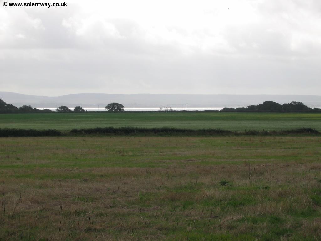
The path pases through the grounds, where you'll often see ponies and also pases an old mill. This path emerges onto the road at a place called The Wilderness . Soon you get to a junction where the path continues straight on, however you can also turn right to get to the coast. Although there are other roads to the coast further on, all appear to be private roads apart from this one. Here the path enters the New Forest, soon to become a National Park. The path now follows a track through the woods of Sowley Brooms and you get views to the coast on the right when the trees clear. As you come to the end of the trees on the left the path turns to the right coming out onto the road (Sowley Lane). Sadly all the land (and most of the roads) in this area are part of the Solwey Estate and are private so the path sticks to the road, although the traffic is very light and there are large verges along most of the path. Soon you pass the large Sowley Pond on the left, a haven for wildlife.
 |
 |
| The Solent | Sowley Pond |
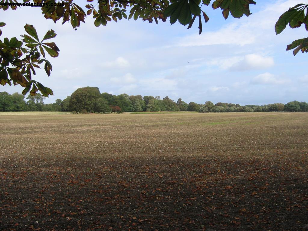
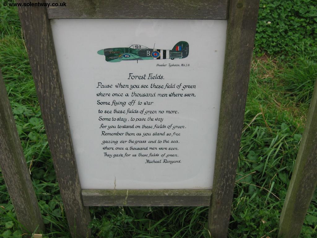
The path now follows the road for the next few miles passing the private roads to the coast on the right and Thorns Cottage on the left. When you come to a junction, take the road to the right passing the cottages of Thorns Corner Cottage on your left. At the next junction continue straight on, passing Bergerie Farm on the left. Soon you pass an information board about Needs Oar Point. This was once the site of an airport, built by the RAF in 1943 which was at one time the base for more than 100 planes. Looking at it you'd hardly know that now, and the road actually goes down the middle of what was the runway. Standing on this now peaceful site it's interesting to reflect on the areas past.
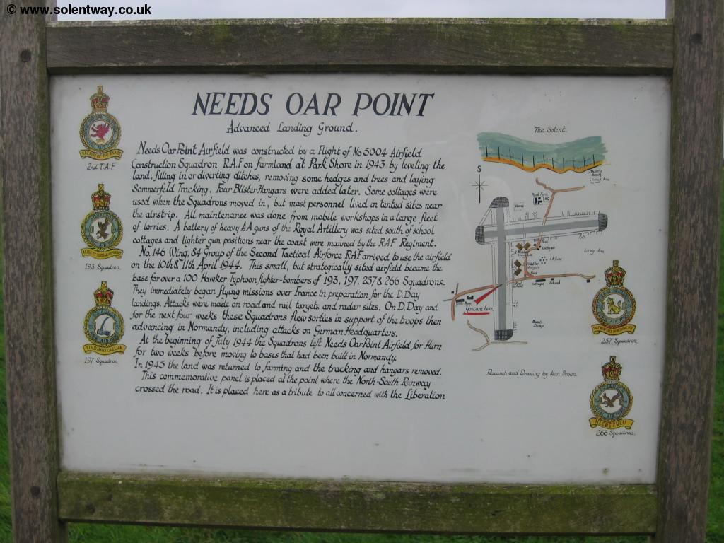 |
 |
| Sign at Needs Oar Point | Sign at Needs Oar Point |
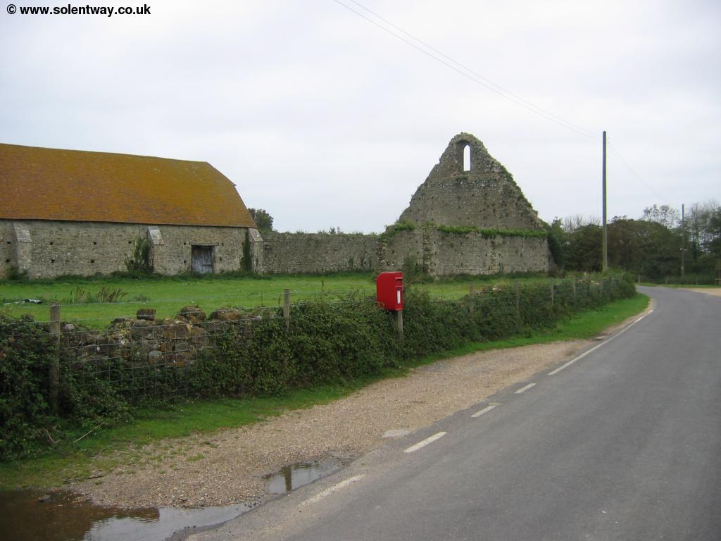
Soon you come to St Leonard's Farm where the roads turns to the left. Gins Lane is straight on, but this is again a private road. On this large corner is the the remains of an old barn and I found ponies wandering along the road, a reminder that the path is now passing through the New Forest.
 |
 |
| The old barn at St Leonard's Farm | Traffic, New Forest style! |
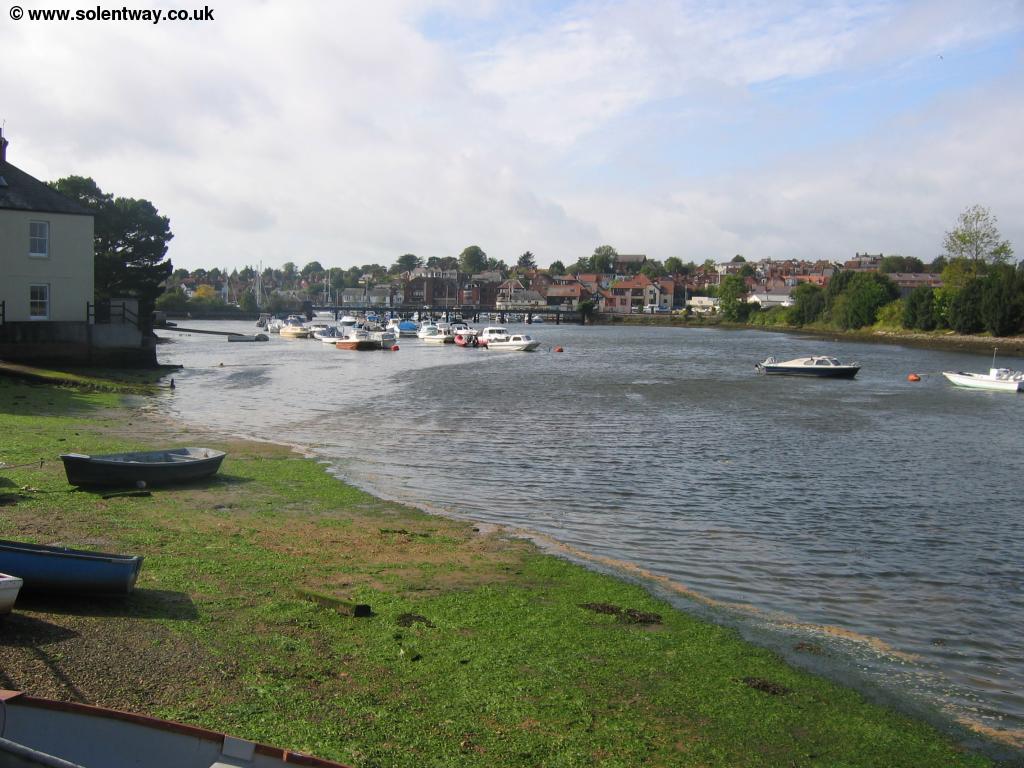
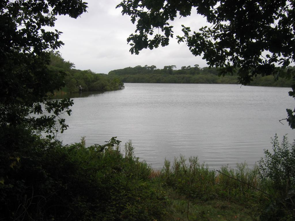
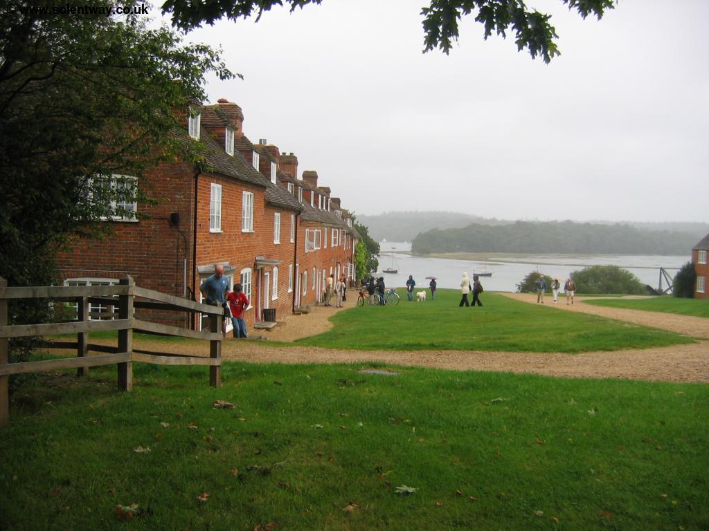
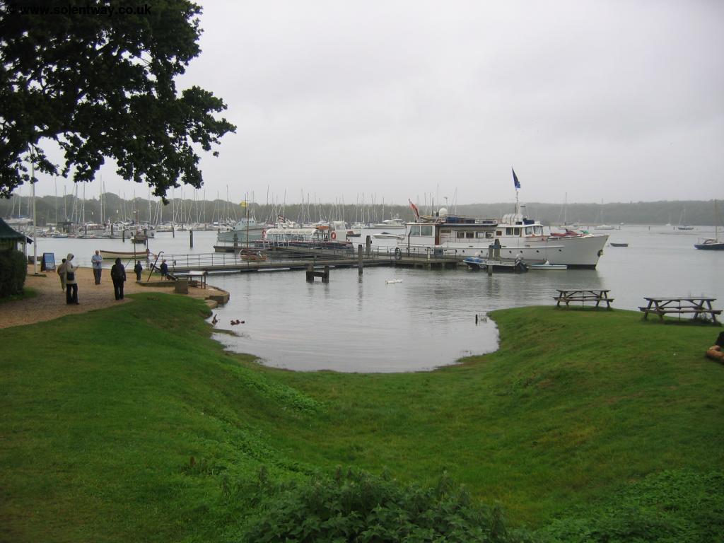
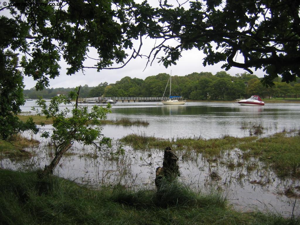
The road now turns to the left and soon comes into woodland once more. At a junction of roads turn right up the narrow road (signed for Bucklers Hard) and over the bridge, then turn left when signed. The path is now following this narrow road up to Bucklers Hard passing Clobb Farm on the left. Soon to the left you'll see the edge of the River Beaulieu through the trees, emerging onto the road at Bucklers Hard. Bucklers Hard is a beautiful 18th Century village, once used for the building of ships for the navy. This beautiful village has lovely brick cottages on either side leading down to the banks of the river. It's now a very popular spot, with a maritime museum and information on the history of the village. Some of the cottages are also open to the public, including one which contains a small chapel and of course the village pub. It's a popular place to visit, and it's not hard to see why. The Solent Way crosses the stile down onto the main grass track through the village to the river. From the bottom where the village comes to the river you can now take boat trips down the river.
 |
 |
| The river Beaulieu at Bucklers Hard | Bucklers Hard |
 |
|
| Bucklers Hard | Bucklers Hard |
 |
 |
| The river Beaulieu at Bucklers Hard | The river Beaulieu at Bucklers Hard |
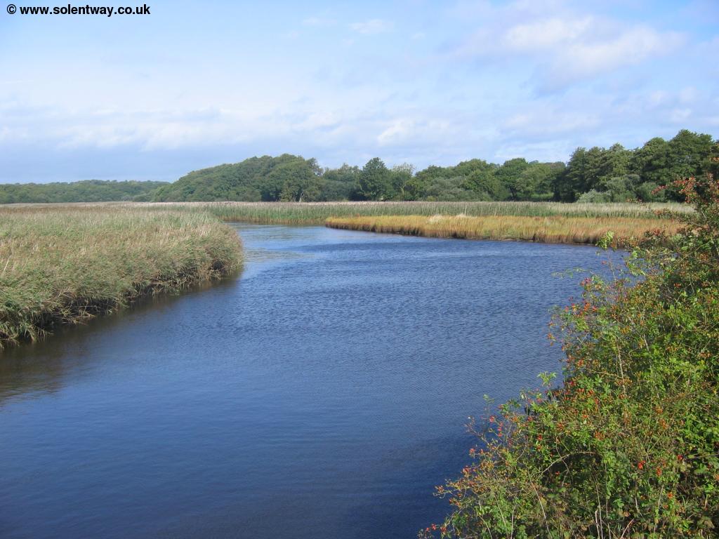
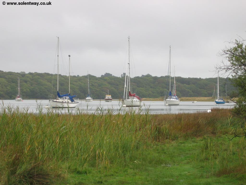
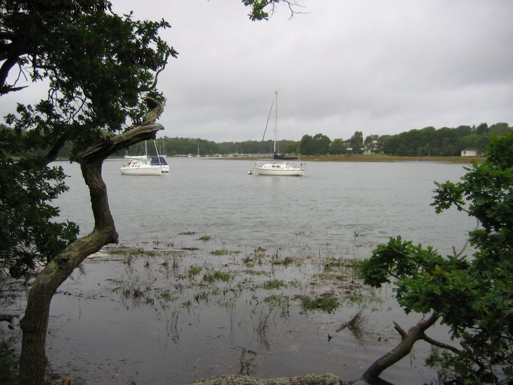
The Solent Way continues along the banks of the river to Beaulieu so pass the pier where there are boat trips and the mariner. You have to pass by inland of Agamemnon Boat Yard but then follow the path along the edge of the water through the woods. The is very close to the river and can get quite boggy, although boardwalks are provided in places. The river here is beautiful, peaceful and unspoilt and it's a very enjoyable walk into Beaulieu.
 |
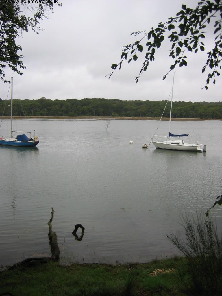 |
| The river Beaulieu | The river Beaulieu |
 |
 |
| The river Beaulieu | The river Beaulieu |
 |
 |
| The river Beaulieu | The river Beaulieu |
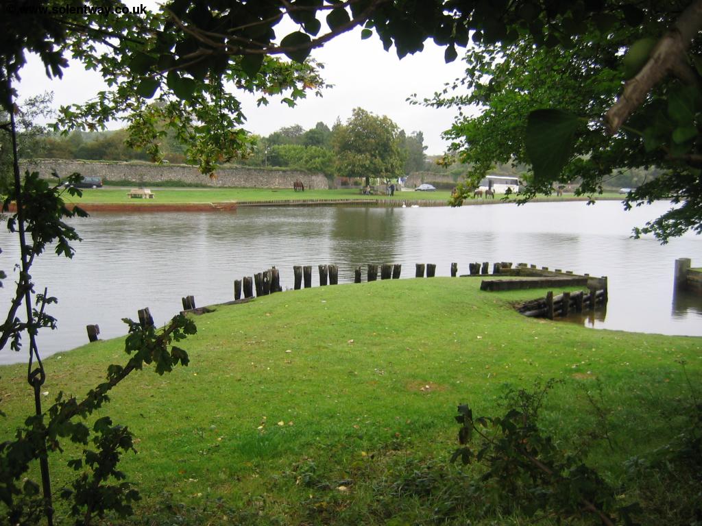
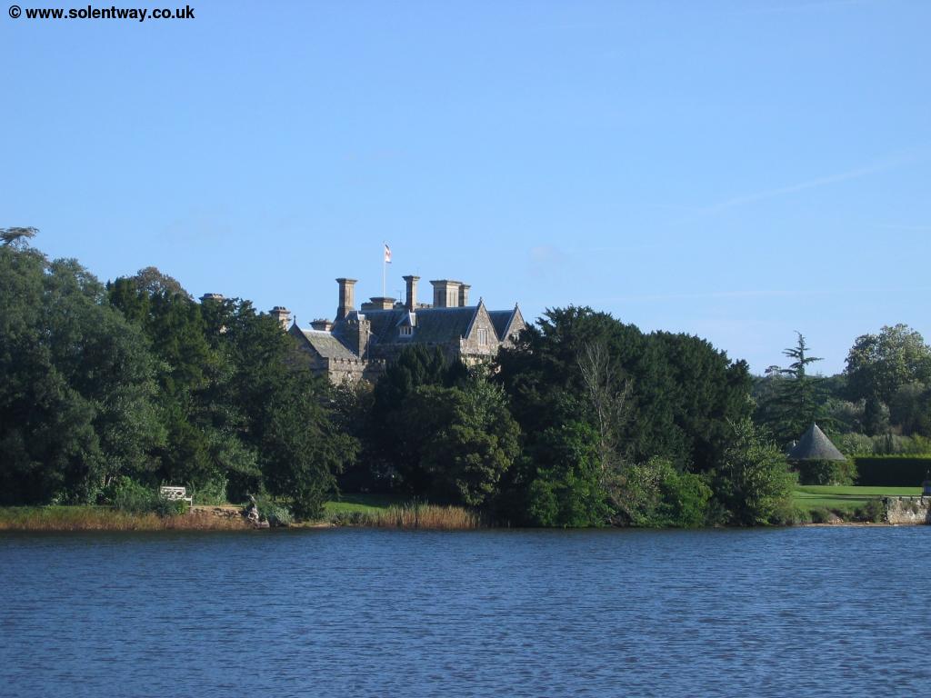
Soon the path comes out into Beaulieu, a beautiful New Forest village which has the remains of an abbey, The Palace House, a mill pond and also a little out of the main village, The National Motor Museum. The village centre is beautiful and surprisingly well equipped, as there is even a fire station in the village.
 |
 |
| The Mill Pond and Palace House | The Mill Pond |
 |
|
| Beaulieu |
Getting Back
Wilts and Dorset bus services 112 runs from Beaulieu back to Lymington, via several villages and to Hythe in the other direction. At the time of writing, there are around 8 buses a day Monday - Friday and 4 per day on Saturdays. During the summer months the Solent Blue Line New Forest Tour open top bus service runs 5 times per day (seven days per week) back to Lymington, taking around 25 minutes. This bus also continues to Brockenhurst and Lyndhurst and tows a trailer with room for up to 9 bicycles.
Links
The following web sites provide information on the area.
Every effort is made to ensure the accuracy of information on this site, but liability will not be assumed in the event of any inaccuracies. Use of the information on this site is at your own risk. If you find any errors, please use the link below. The text and photographs on this web site are all Copyright © and may not be reproduced without prior permission.